Scotlands Land & Information Service (ScotLIS) is a concept supported by the Law Society of Scotland, the Scottish Government, the Ordinance Survey and Registers of Scotland.
Using the Land Register as the basis:
- for the professional combining external data sets relevant to land and property on a map
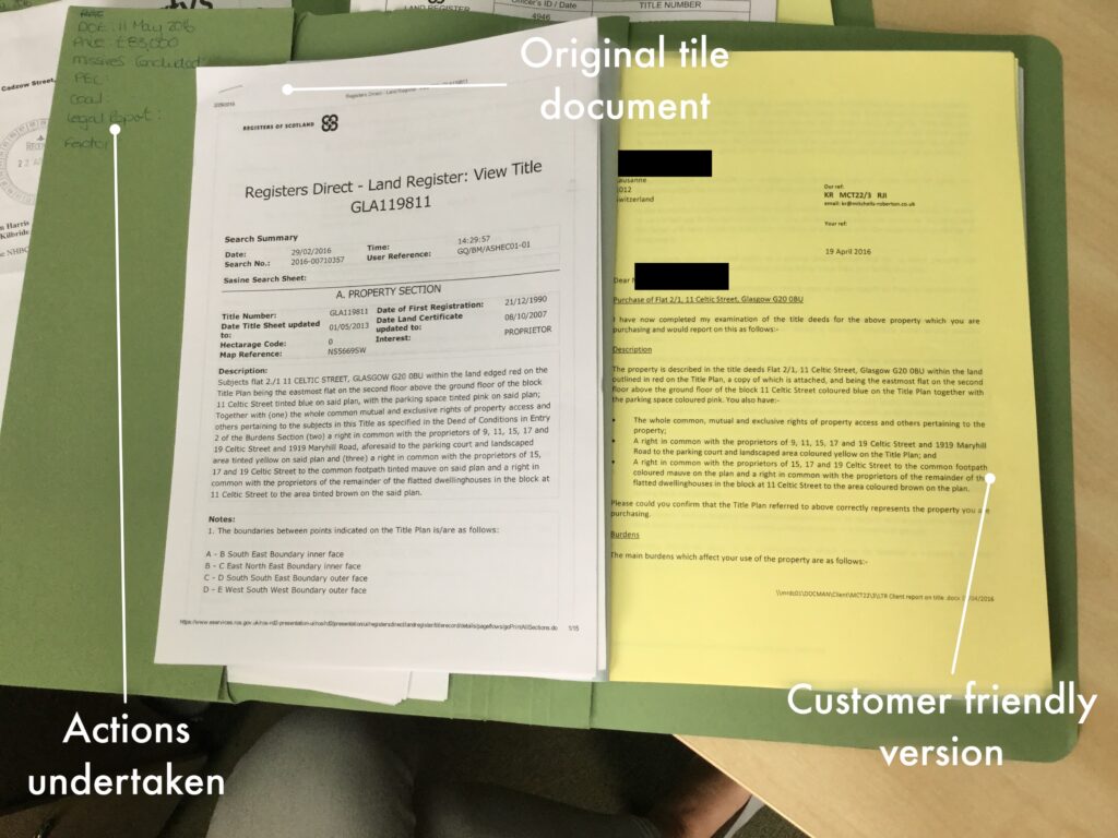
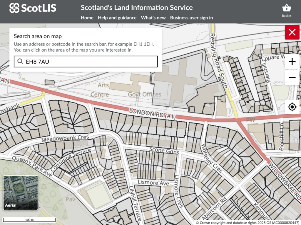
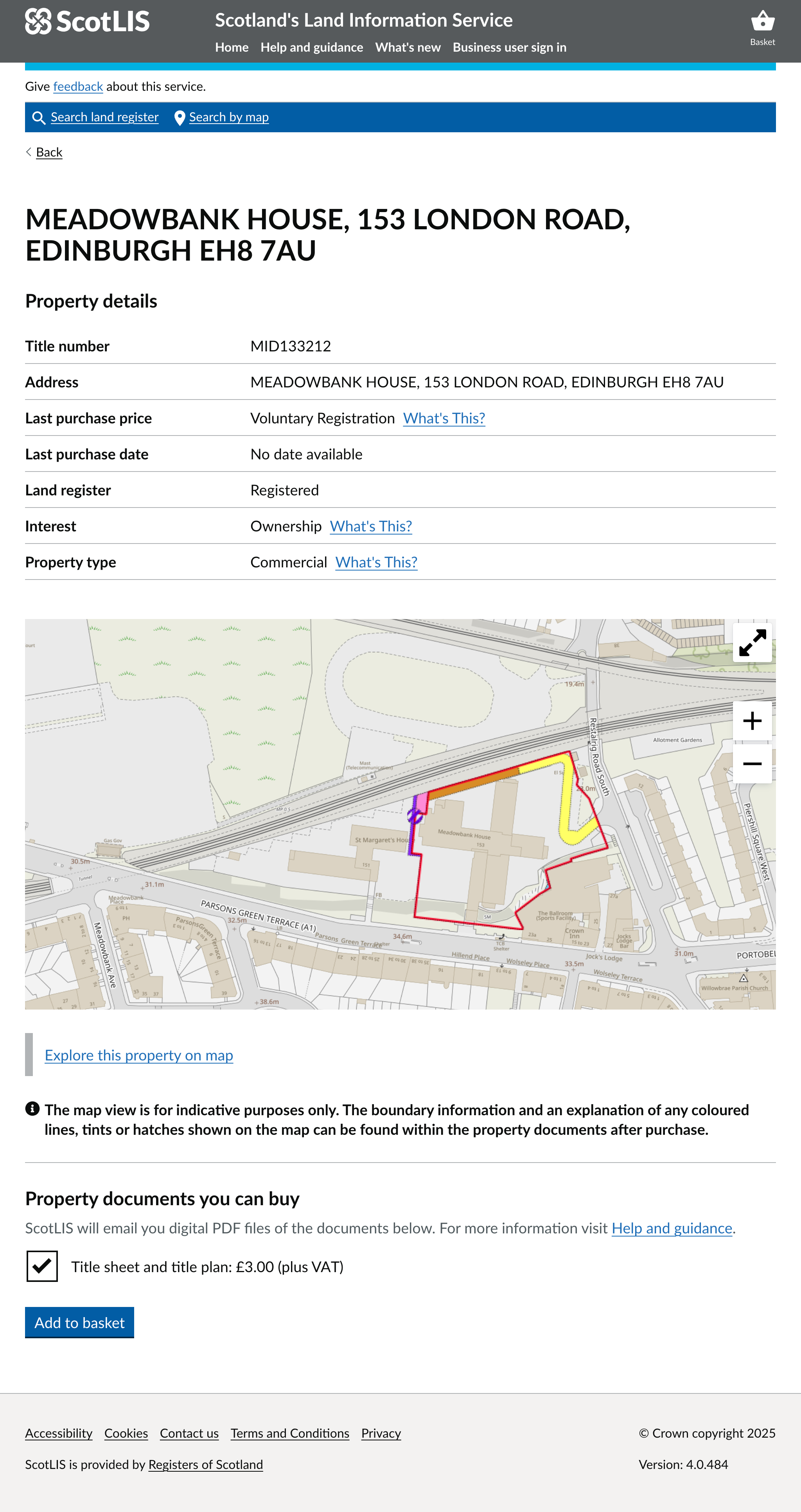
- for the public providing Land Register records digitally for the first time and priced at £3.20 compared to £50 from a professional.
Through research to understand customer needs, I identified an opportunity: by giving a little data away for free, the user had greater certainty they had a correct result and continued to purchase. I removed a ‘dark pattern’ and designed a more profitable service.
ScotLIS was also the first mobile-first/responsive map in RoS, further increasing its audience.
Skills used
- Observation & interviews
- Model office
- Wireframing and rapid prototyping
- Stakeholder mapping & engagement
- Co-design
- Process mapping & scenario planning